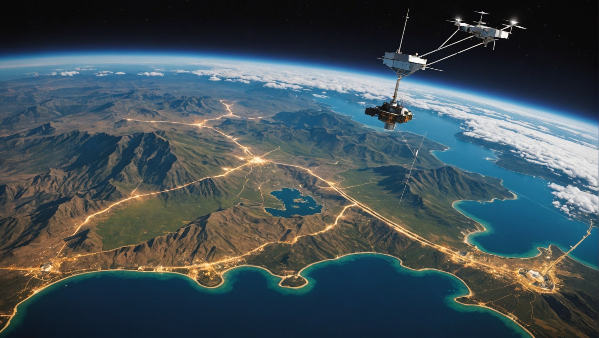
Overview of Synthetic Aperture Radar (SAR)
Synthetic Aperture Radar (SAR) technology represents a significant advance in earth observation and remote sensing. Unlike traditional radar systems that rely on large physical antennas to obtain high-resolution images, SAR uses the motion of the radar antenna over a target region to simulate a much larger antenna, or “aperture.” This technique enables SAR to achieve superior spatial resolution.
The basic principles involve transmitting radar signals towards the Earth’s surface and then receiving the echoed signals. By analysing the time delay and phase shifts of these signals, SAR can generate detailed images that reveal structures and patterns not visible through other methods of observation.
Have you seen this : Revolutionizing Real Estate Investment: The Impact of AI-Driven Tools on Analysis
SAR’s capabilities extend beyond traditional radar and optical imaging techniques. Unlike optical systems, SAR can penetrate clouds and operate in all weather conditions, day or night, making it invaluable for continuous earth observation. Comparatively, traditional radar systems are limited in resolution and sensitivity, restricting their use in precise monitoring tasks.
Over the years, SAR technology has seen remarkable advancements, enhancing its application scope. Innovations in processing power, antenna design, and data algorithms have propelled SAR from military and niche uses into broad civilian applications such as environmental monitoring, natural disaster assessment, and climate research.
This might interest you : Unlocking the Future: AI-Driven Strategies for Enhancing Renewable Energy Management in Smart Cities
Technical Principles Behind SAR
Synthetic Aperture Radar (SAR) employs unique radar principles to capture high-resolution images. Utilizing microwave signals, SAR systems transmit and receive signals to and from a targeted surface. As a platform carrying the radar moves, it collects data over multiple angles, creating the effect of a larger antenna or “synthetic aperture.” This imaging technique results in enhanced image resolution, offering clearer and more detailed visuals.
Signal processing is pivotal in SAR imaging. The received signals are inherently complex, requiring sophisticated signal processing methods to transform the raw data into comprehensible images. Algorithms process these signals to reconstruct images with sharp details, distinguishing intricate surface features.
The synthetic aperture concept is vital for improving resolution. By simulating a much larger antenna, SAR systems overcome traditional limitations of radar resolution. This approach allows for high-fidelity imaging in diverse conditions, such as during night time or through clouds, making SAR invaluable in various remote sensing applications. This culmination of radar principles, signal processing, and advanced imaging techniques establishes SAR as a robust tool for acquiring precise imagery in challenging environments.
Advantages of SAR Over Traditional Imaging
Synthetic Aperture Radar (SAR) offers significant benefits over traditional imaging, especially in terms of resolution and all-weather capability. One of the standout features of SAR is its high-resolution imaging capabilities. Unlike optical methods, SAR is not hindered by weather conditions like clouds or precipitation, nor does it depend on sunlight. This all-weather capability ensures that SAR can produce clear images at any time, making it an invaluable tool for continuous monitoring and data collection.
Moreover, SAR demonstrates versatility by maintaining constant performance regardless of the time of day, unlike optical systems that are limited to daylight hours. This unique ability enhances its functionality across various applications ranging from environmental monitoring to defense.
When considering cost-effectiveness, SAR is more efficient in data collection. High-resolution imaging and all-weather functionality enable SAR to gather extensive data sets, reducing the need for repeated imagery capture often required with traditional techniques. This efficiency translates to reduced operational costs and faster data acquisition, making SAR a preferred choice for many sectors. Therefore, the integration of SAR technologies can lead to enhanced performance in various fields, boosting both economic and operational outcomes.
Applications of SAR Technologies
Synthetic Aperture Radar (SAR) technologies play a crucial role in various fields, offering precise and valuable data for numerous applications. In environmental monitoring, SAR is instrumental in tracking deforestation, mapping wetlands, and observing ice cover changes. Its ability to penetrate clouds and operate day or night makes it indispensable for governments and environmental agencies focusing on sustainable natural resource management.
In the realm of disaster management, SAR technologies are vital. They enable rapid assessment of affected areas, crucial for developing effective response strategies. Whether it’s assessing flood extents or monitoring earthquakes and landslides, SAR provides detailed imagery that supports emergency services and relief efforts.
Urban planning and infrastructure development benefit significantly from SAR applications. It helps planners in urban growth monitoring and assessing infrastructure stability, like bridges and roads, ensuring early detection of potential structural issues. Its high-resolution imagery supports the design and monitoring of urban expansion and infrastructure projects, contributing to more sustainable and safe development practices.
Overall, SAR applications are diverse, aiding in tracking environmental changes, managing disasters effectively, and planning urban development meticulously. These technologies provide the precision and detailed data essential for informed decision-making.
Case Studies Demonstrating SAR Effectiveness
The use of SAR (Synthetic Aperture Radar) in real-world applications has provided illuminating examples of its effectiveness. Consider the 2022 wildlife conservation project in the Amazon rainforest, a landmark for SAR technology. By employing SAR, researchers could penetrate dense canopy layers, identifying illegal logging activities with precision. This real-world application underscores SAR’s ability to gather critical data even in challenging environments.
A notable success story is the SAR implementation in disaster response, such as during the floods in Southeast Asia. SAR offered timely, detailed imagery that facilitated rapid response efforts, saving countless lives. The analysis of SAR data allowed for accurate mapping of affected areas, directly influencing efficient decision-making.
Lessons learned from these case studies are invaluable. One key takeaway is the emphasis on training personnel to interpret SAR data effectively. This ensures accurate application and maximises SAR’s capabilities. Moreover, integrating SAR data promptly into decision-making processes can make a significant difference in outcomes. These real-world applications highlight the transformative power of SAR technology, providing crucial insights and enhancing operational efficiency across varied sectors.
Recent Advancements in SAR Technology
The field of Synthetic Aperture Radar (SAR) is experiencing exciting innovations. With countless emerging trends shaping the landscape, the technology is becoming indispensable for various applications. Currently, SAR systems are more sophisticated than ever, featuring improved resolution and enhanced imaging capabilities. These advancements enable clearer and more accurate earth observations that support both commercial and research endeavors.
Several emerging trends in SAR applications are redefining their uses. One notable trend is the growing reliance on SAR data for monitoring climate change’s impact. By leveraging SAR, researchers can track ice melting rates or forest deforestation with unprecedented precision. Furthermore, the integration of machine learning in SAR data analysis is another crucial trend, offering more insightful interpretations of complex data sets.
Looking ahead, upcoming satellite missions such as those by ESA and NASA aim to deploy satellites with advanced SAR capabilities. These missions promise to further extend the boundaries of what SAR technology can achieve. For instance, newer satellite missions are being designed to provide continuous global coverage, resulting in a wealth of valuable data that can be used to address urgent environmental challenges. With such progress, SAR technology continues to open new horizons for exploration and understanding.
Conclusion: The Future of SAR in Earth Observation
The future of SAR (Synthetic Aperture Radar) promises significant advancements in remote sensing. With continuous innovation, SAR is set to transform earth observation technologies, offering unprecedented data and insights. In the coming years, we can expect SAR technologies to evolve, enhancing resolution and data accuracy. Such improvements will enhance our ability to monitor environmental changes, natural disasters, and urban development with greater precision.
The implications of these SAR advancements are profound for global monitoring and management. Enhanced data will aid in addressing climate change challenges, improving disaster response mechanisms, and supporting sustainable agricultural practices. These developments will allow for more informed decision-making and resource management on a global scale.
Continued research and development in SAR applications remain crucial. Investing in these areas will ensure that SAR technology not only meets current demands but also adapts to emerging challenges and opportunities. As SAR becomes more integrated into various sectors, its role in providing critical insights for planetary health and human activities will undeniably increase. By focusing on these key areas, the future of SAR in earth observation appears bright and transformative.


